Our Story
Welcome to Eagle Mapping, where precision mapping is our expertise. Our dedicated team of technical staff and management is committed to delivering the highest quality, accurate maps to meet your unique needs. We use cutting-edge technology and offer a wide array of deliverables to redefine the industry standard. Choose us for your mapping solutions and experience the difference.
Our Services
At Eagle Mapping, we don't just provide maps; we provide solutions. Our dedication to accuracy, innovation, and customer satisfaction is at the core of everything we do. We're here to map the path to your future profits.
Acquisition
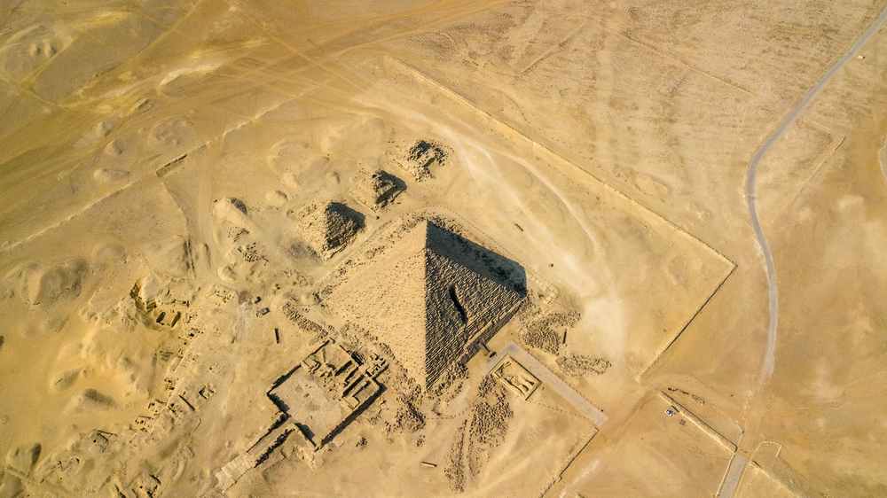
We offer exceptional LiDAR and Aerial Photography services. We have complete control over every stage of a project, thanks to our in-house sensors, aircraft, and data processing capabilities. This enables us to deliver the best possible results to our clients.
Processing
We are a highly experienced company in processing LiDAR data using the Terrasolid Suite. With years of expertise, we provide top-notch services to our clients.
Deliverables
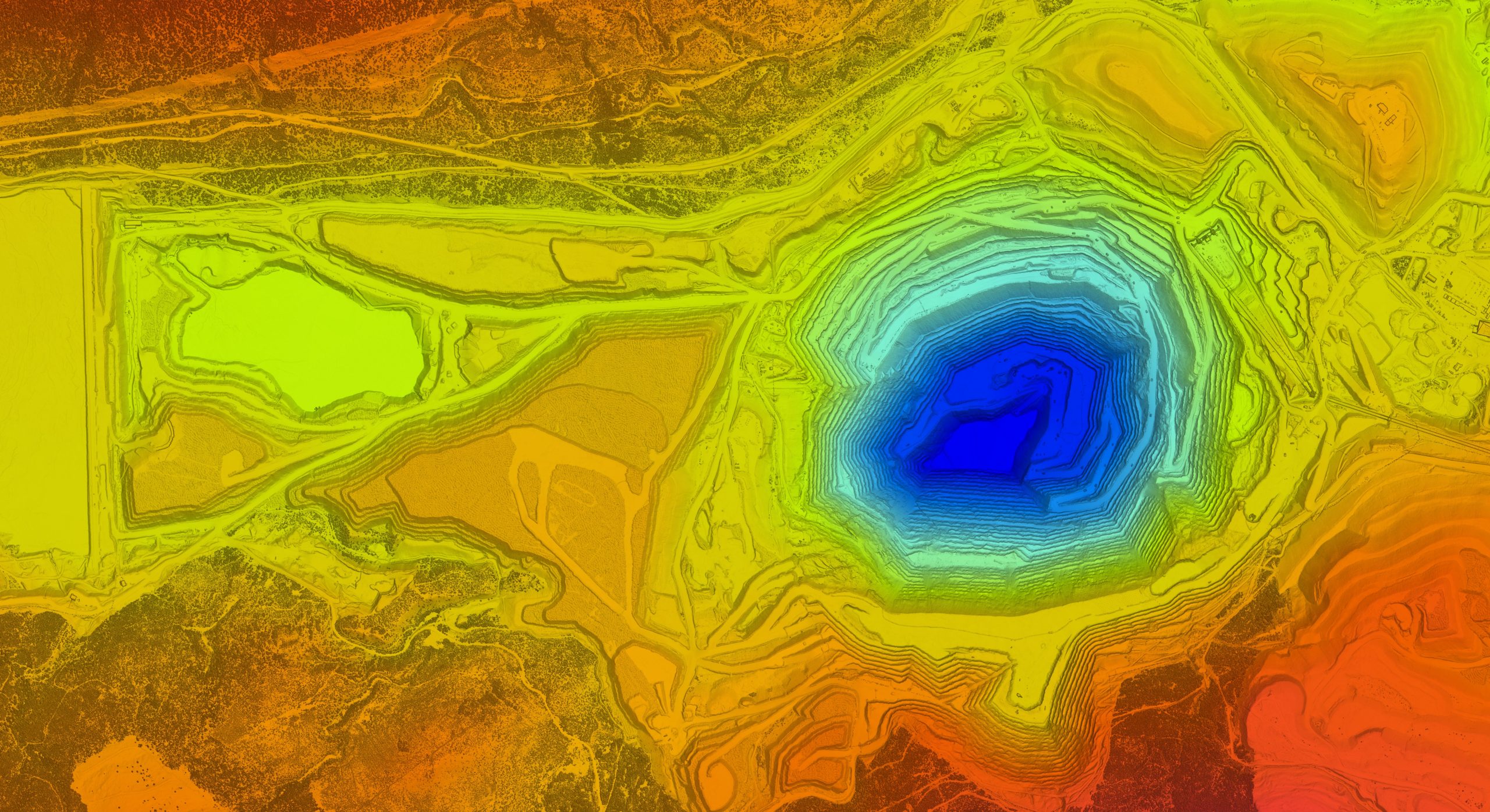
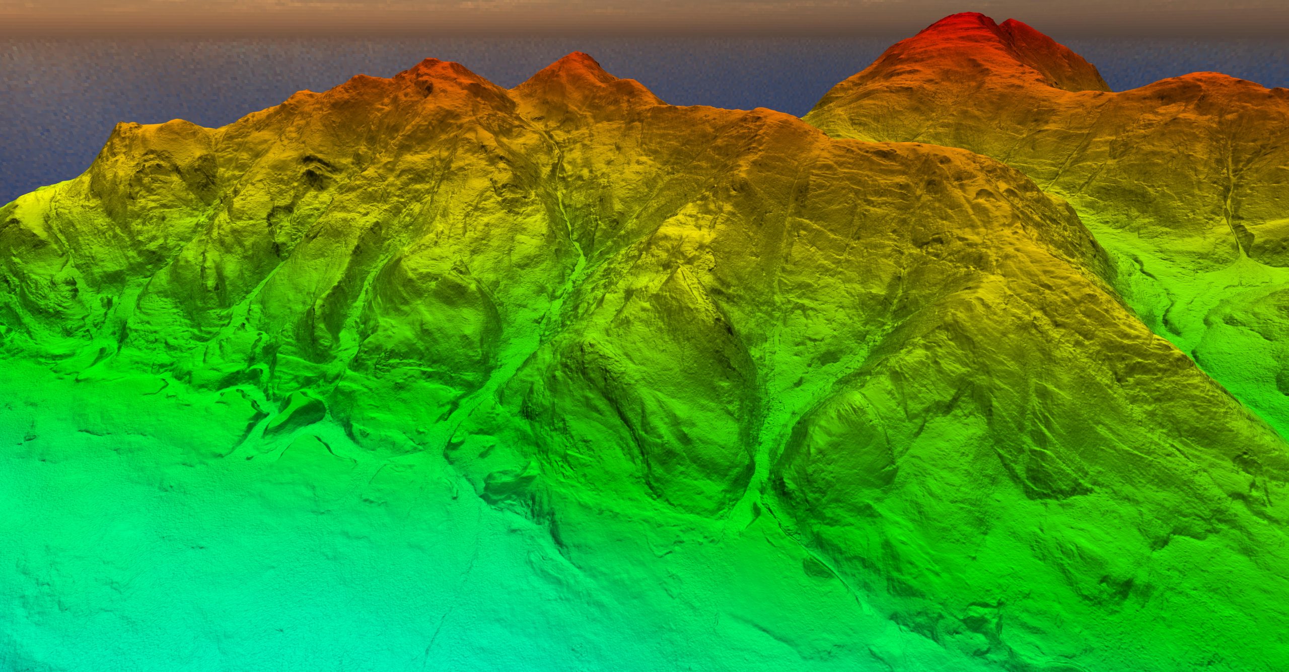
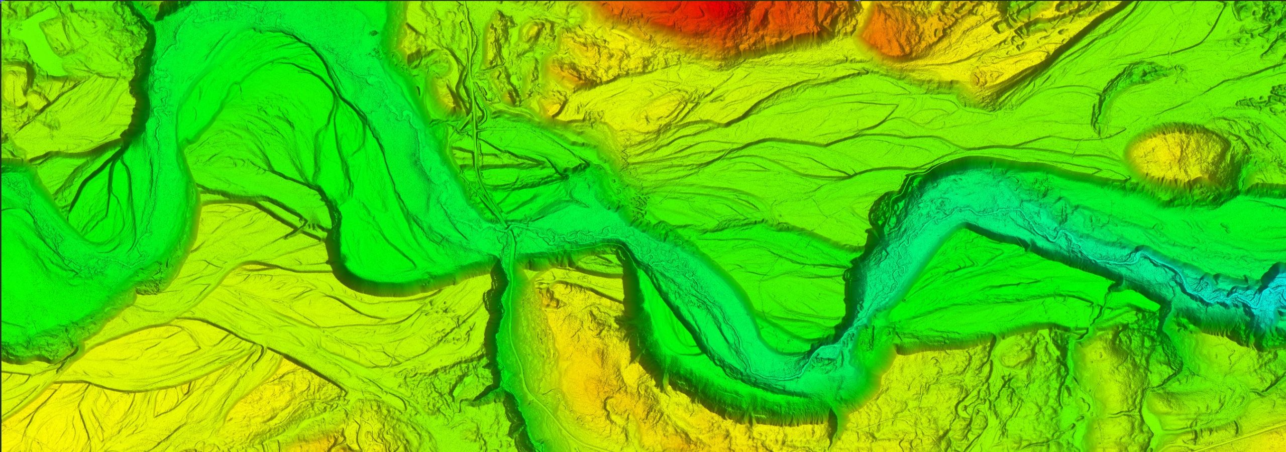
We provide a range of deliverables including orthophotos, bare earth models, contours, digital terrain models, hill shade models, slope models, intensity models, canopy height models, vegetation density models, and surface roughness maps.
Industries
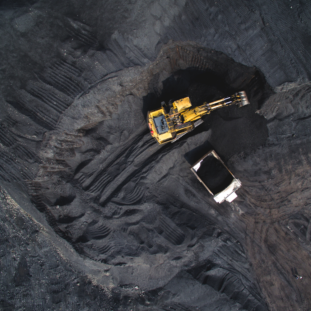
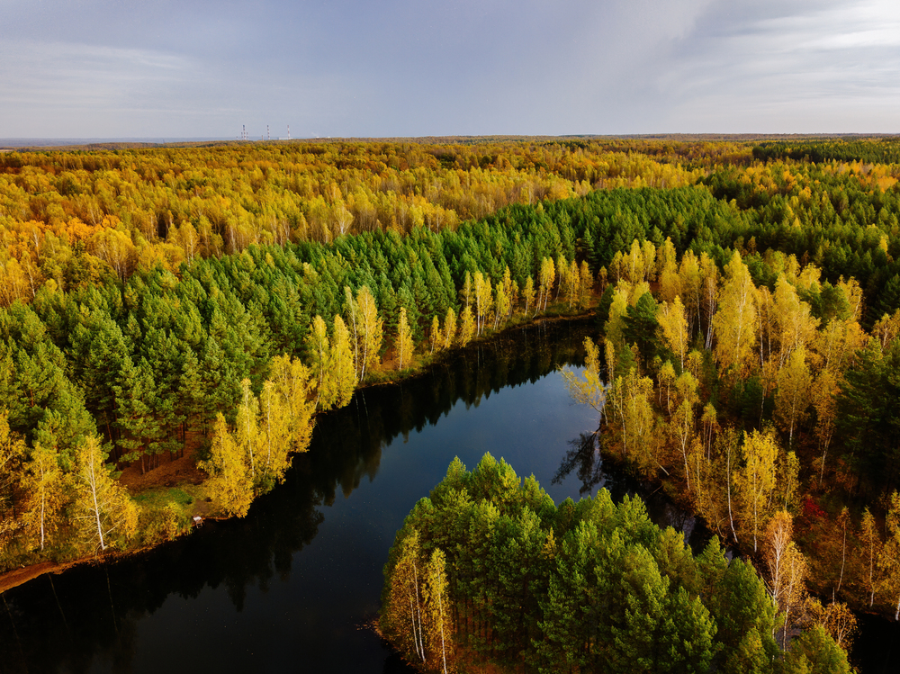
Our expertise in LiDAR technology has been utilized in projects across North and South America. We cater to clients from diverse fields such as Natural Resources, Municipal and Engineering, Ecological, and Indigenous Peoples sectors.
Cutting Edge Technology
​
​
We own the most advanced LiDAR equipment available, including top-of-the-line RIEGL sensors. Our team of expert LiDAR analysts confidently employs the latest software and classification algorithms to process LiDAR data in-house. This allows us to provide our clients with the most detailed and valuable insights possible.
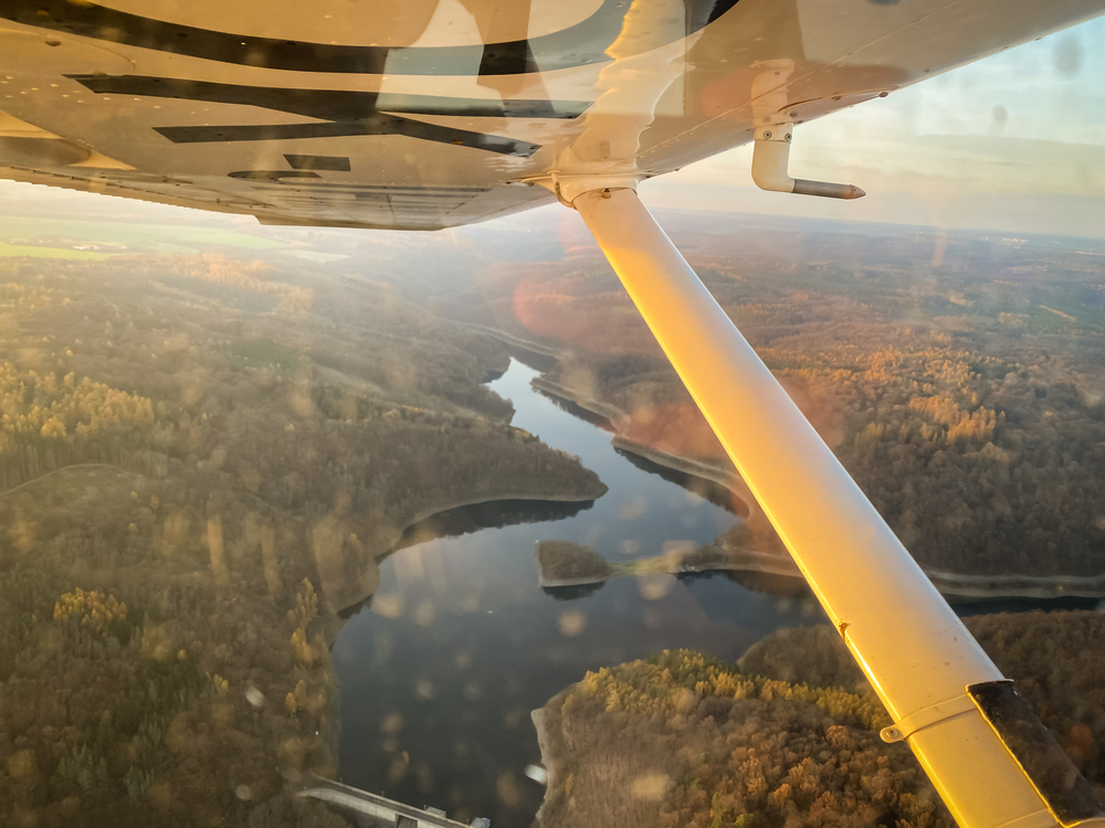
From our aviation hub in the Lower Mainland of British Columbia, we take to the skies with a fleet of Piper Navajos and our own Cessna 206 & 210. This allows us to partner with organizations across North, Central & South America, providing aerial platforms for LiDAR and camera sensors. We understand that every mission is unique, and we're equipped to meet your aerial data collection needs.
Taking to the Skies
Contact Us
​
Canadian Services:​
John Rankin​
Geomatics Sales Consultant
Direct Phone: +1 250.613.9458
Canada, Mexico, Central & South America Services:
Hector de los Santos
​Geomatics Sales Manager
Direct Phone: +1 604.764.5623​
Oficinas en México
Aristóteles 77 Piso 5, Polanco, CDMX
Hector de los Santos
Tel. +52 (55) 8851-1517
​
USA Services:
Andrew Lewis
Vice President Sales & Marketing
alewis@eaglemapping.com
Direct Phone: +1 503.501.7278​
​
​
Eagle Mapping Ltd. Head Office
Building C, Unit C420 - 20178 96th Ave, Langley, BC, V1M 0B2, Canada
​
Toll free: +1 877.942.5551
Office: +1 604.942.5551
Fax: +1 604.942.5951