EAGLE MAPPING
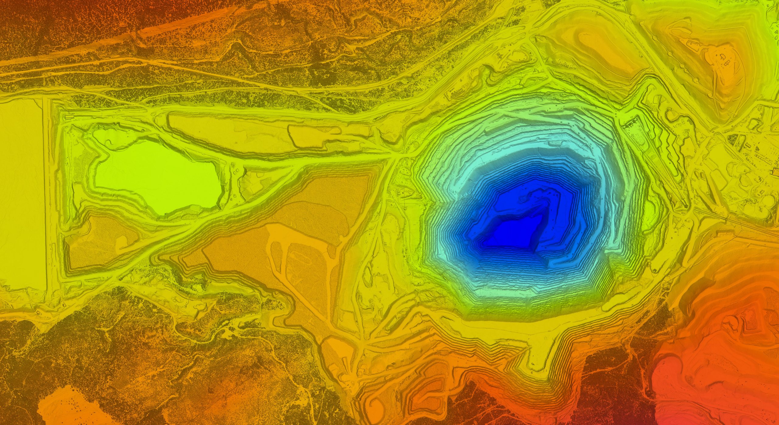
With 40 years in the business of topographical mapping, Eagle Mapping is a
trusted provider of LiDAR Data Acquisition and Processing Services.
We are here to map the path to your future profits.
oUR STORY
FOUNDED IN 1985
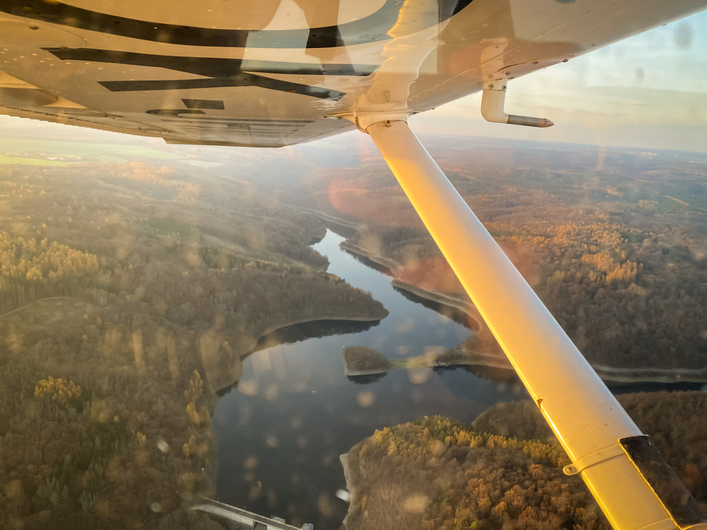
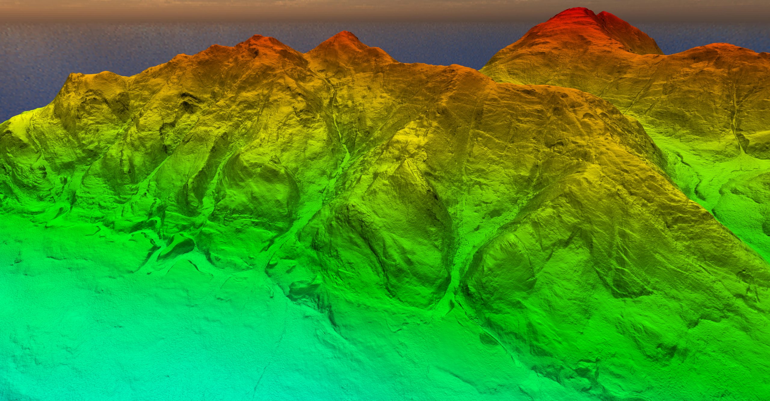
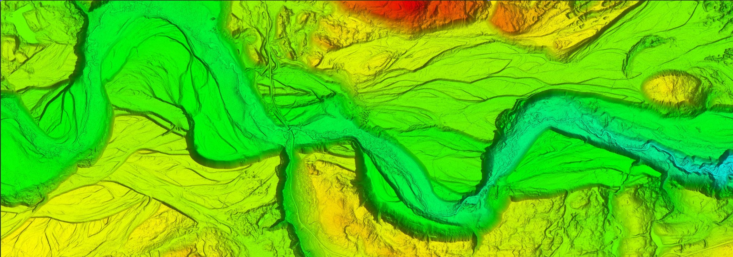
Welcome to Eagle Mapping, where precision mapping is our expertise. Our dedicated team of technical staff and management is committed to delivering the highest quality, accurate maps to meet your unique needs.
We use cutting-edge technology and offer a wide array of deliverables to redefine the industry standard. Choose us for your mapping solutions and experience the difference.
wHAT WE DO
INNOVATIVE SOLUTIONS FOR A
BRIGHTER TOMORROW
At Eagle Mapping, we don’t just provide maps; we provide solutions. Our dedication to accuracy, innovation, and customer satisfaction is at the core of everything we do. We’re here to map the path to your future profits.
WHO WE WORK WITH
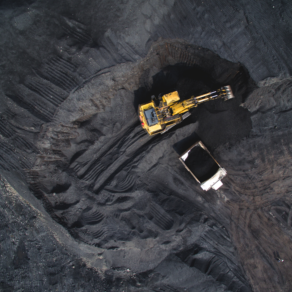
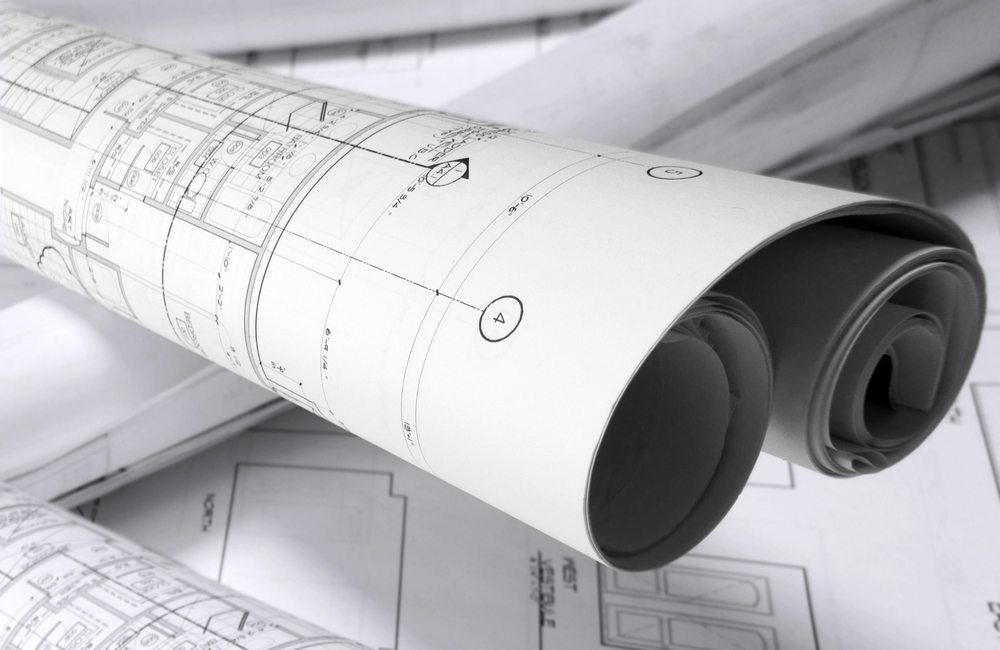
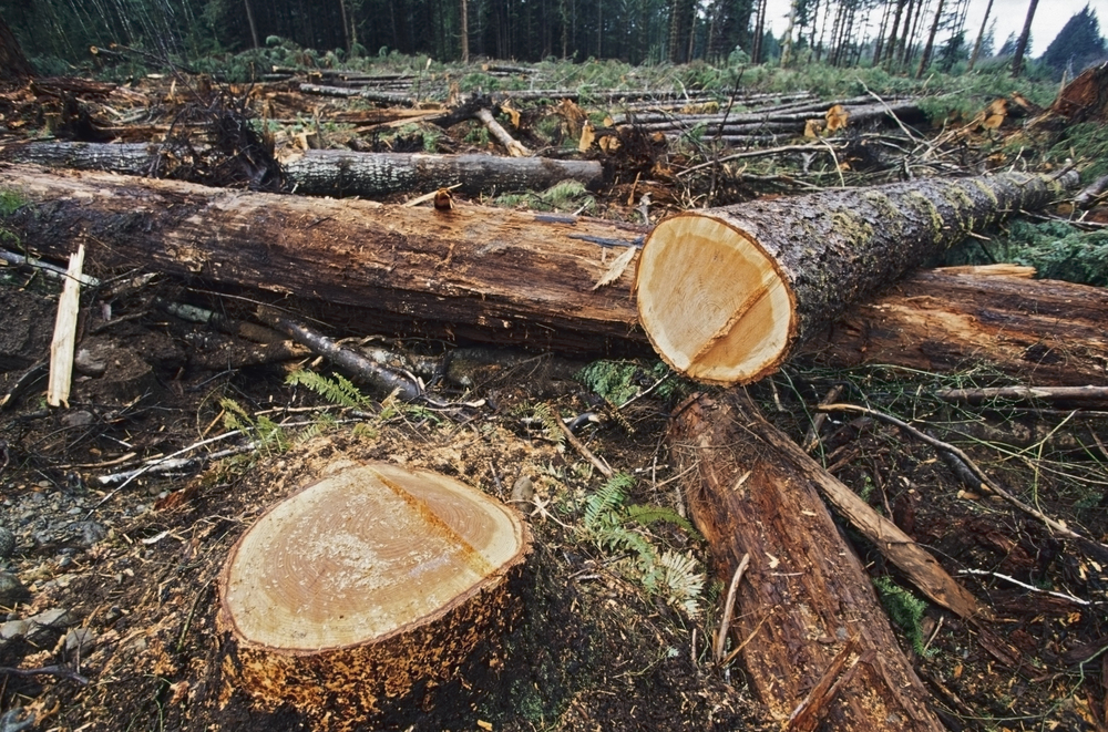
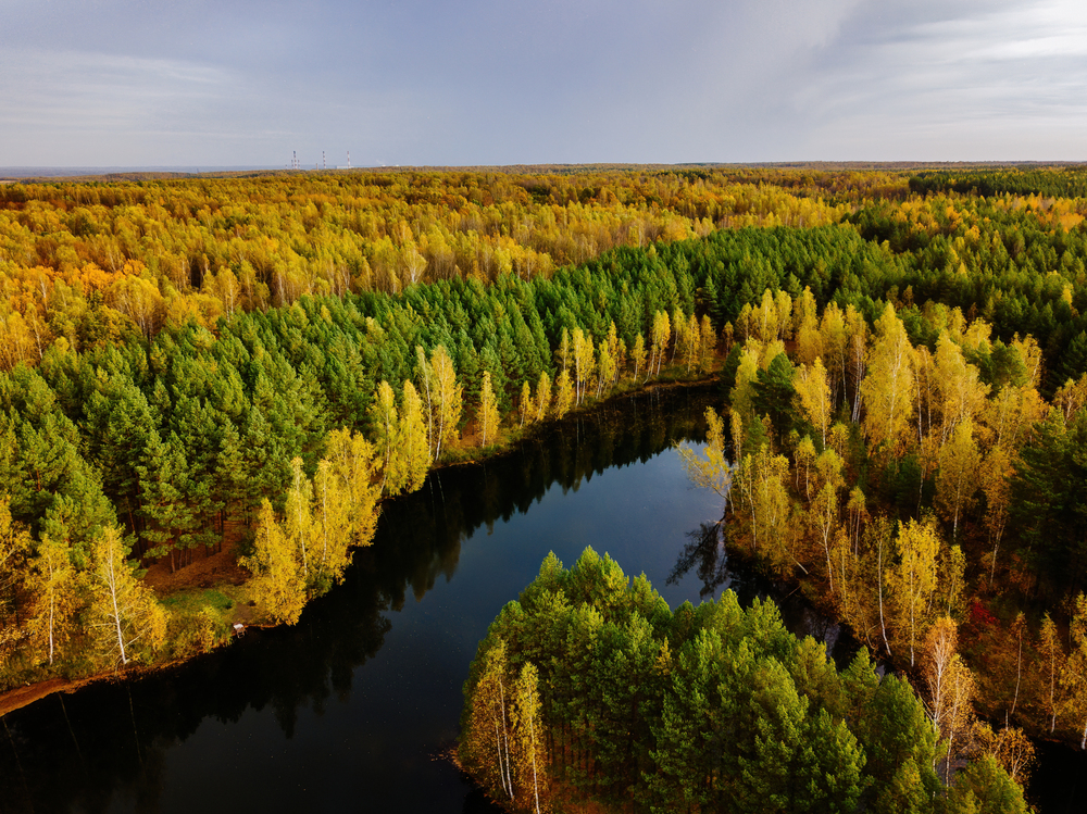
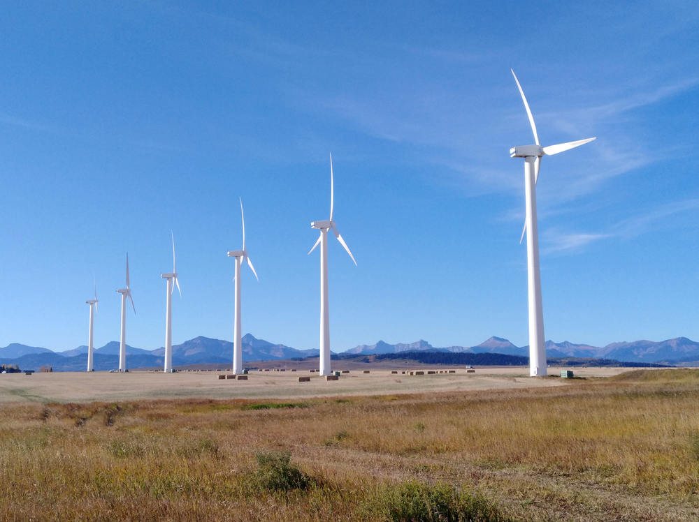
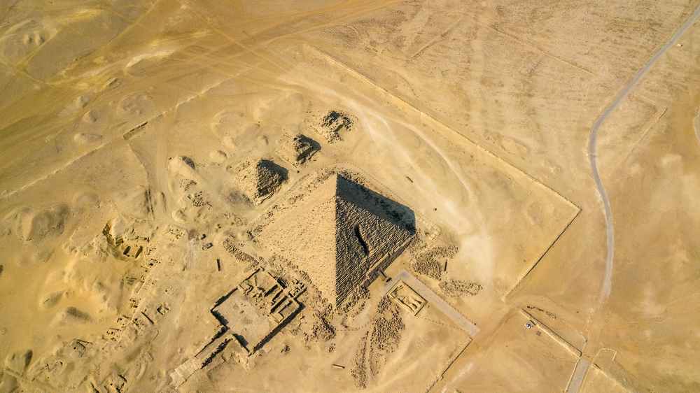
EAGLE MAPPING WORKS WITH A RANGE OF INDUSTRIES
Our expertise in LiDAR technology has been utilized in projects across North and South America. We cater to clients from diverse fields such as Natural Resources, Municipal and Engineering, Ecological, and Indigenous Peoples sectors.